Little Smoky caribou range · west-central Alberta
Little Smoky,
landscape amnesia
Landscape amnesia is what happens when each generation takes the land it grew up with as normal and forgets what came before. It's happening in the Little Smoky. Woodland caribou need big, quiet, old forest to thrive, and in the past they thrived here. Today, seismic lines, roads and pipelines carve that forest into a patchwork of broken pieces, and they give wolves a fast way in. Cut-blocks reset the age of the forest and take away the old-forest habitat caribou need. This map shows every mapped line and cut-block in the Little Smoky caribou range, laid over satellite images, with five windows of air photos from 1949 and 1950, before the massive disturbance we see today.
Little Smoky by the numbers
The whole range
Orange is cut-blocks: the bolder the orange, the newer the block. Each pink thread is a seismic line or trail. Yellow is road, cyan is pipeline. The numbered squares are the five places we zoom into below; tap one to jump there.
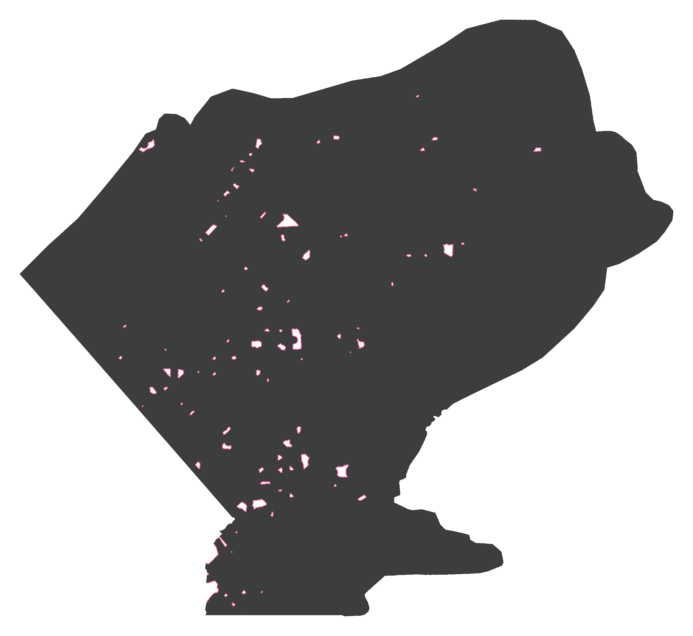
Federal recovery planning counts land within 500 m of human footprint as disturbed, and asks that 65% of a range stay undisturbed. Switch on the 500 m zone (the last button above the map) and look for what's left, outlined in pink. Counting every mapped line, well pad and cut-block, less than 1% of Little Smoky sits outside it. Fire isn't included here, and would only add to the disturbance. Neither are the narrow seismic lines public data tends to miss, so treat every number here as a floor.
Drag the year to watch the seismic lines and cut-blocks arrive. When the first air photos were flown in 1949, there were almost no cut-blocks or seismic lines. Seismic cutting peaked in the 1980s and nearly stopped after 2010, just as logging picked up: more than half the range's cut-blocks are from 2010 on.
10,766 km of seismic line and trail, 707 km² of cut-blocks by 2023
Seismic line and trail cut, km per decade
Forest logged, km² per decade
Show the decades as a table
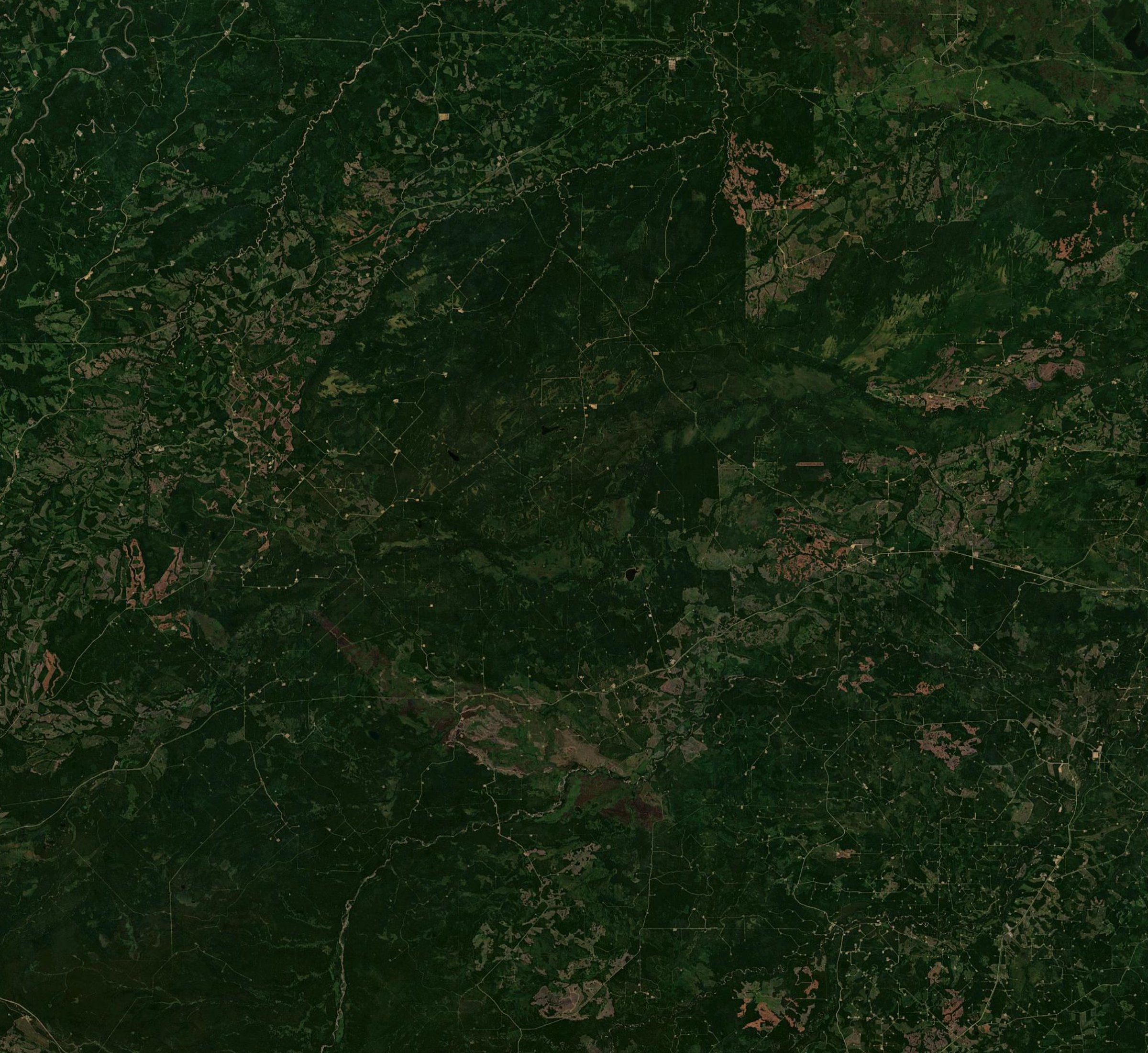
Imagery: EOxCloudless 2025 by EOX IT Services GmbH (contains modified Copernicus Sentinel data 2025), CC BY-NC-SA 4.0
Cut-blocks are shaded by age brightest for the last ten years, faintest for the oldest. Older blocks have regrown, but they aren't old growth yet, so they still don't suit caribou.
The provincial Little Smoky range boundary is in white. Outside the range the map is dimmed and its lines aren't drawn, so the clean look out there is a gap in the map, not untouched forest. The year slider moves seismic lines, trails and cut-blocks. Roads and pipelines fade back when you go back in time, because most of them aren't dated in the data. The 500 m zone always shows today. Dates are approximate, and the jumps at 1959 and 1981 are lines dated only roughly from old maps.
Five windows in time
Each frame is 3 km on a side, cut from provincial air photos. Drag the arrows left and right across the image. The left side is the forest in 1949 or 1950, largely undisturbed. The right side is the same ground in 2006 or 2010, with the lines and cut-blocks that existed by then drawn on top, from ABMI's 2023 footprint data.
Window 1 of 5
The lattice
54.252° N, 117.390° W
The busiest ground in the Little Smoky. Old conventional seismic lines cross in every direction, with pipelines and a road threaded through them. In the 2010 photo you can pick out most of them as pale scratches in the spruce. The 1950 photo shows a landscape shaped only by fire, which is a natural part of these forests.
Lines like these regrow slowly, if at all, and wolves use them like highways. From the middle of this frame the nearest line is 69 m away.
Back to the range map90.8 km of line in 9 km²10.1 km per km²75.5 seismic and trails8.6 pipelines6.7 roads
Window 2 of 5
Pipe and road
54.105° N, 117.536° W
In 1949 this was unbroken forest and fen, with a small lake on the west side and a creek winding across the top. Find the lake, then drag. This picture was taken on a late November day, and the low sun throws shadows long enough to estimate the height of the trees.
By 2010 gravel roads, pipelines, well pads and cut-blocks have taken over the middle of the frame. Logging didn't stop there: cut-blocks cover 2.9 km² of this frame in the 2010 photo, and another 2.8 km² has been cut since.
Back to the range map75.9 km of line in 9 km²32.5 seismic and trails28.3 pipelines15.1 roads5.8 km² cut, half of it since 2010
Window 3 of 5
Same story, west side
54.230° N, 117.849° W
Thirty kilometres west of Window 1, the pattern repeats. This is what makes Little Smoky hard: there isn't one bad corner to fix. The lines are spread across the whole range.
These are older lines, too: nearly a third were cut before 1970. Look for the patterned fens in the lower right, long dark pools strung across the peat. They're there in the 1949 photo too. In a patterned fen, low ridges of peat alternate with wet pools. The ridges run across the slope of the land and slow the water seeping through it. Fens like these support rare plants and are part of the peatland country caribou rely on.
Back to the range map67.3 km of line in 9 km²7.5 km per km²48.4 seismic and trails10.4 roads8.5 pipelines
Window 4 of 5
The quiet square
54.222° N, 117.967° W
One of the least-lined patches of the range. The 1949 image has a burn scar, the white patch on the western edge. The oxbows in the creek valley through the middle look much the same in 1949 and 2010.
Even here, a handful of seismic lines have crossed it since. From the middle of the frame the nearest one is 680 m away. Quiet, in Little Smoky, is relative.
Back to the range map12.2 km of line in 9 km²1.4 km per km²11.4 seismic and trails0.4 roads0.4 pipelines
Window 5 of 5
As far as you can get
53.871° N, 118.115° W
The ring marks 1,317 m, the most distance you can put between yourself and a mapped line anywhere in Little Smoky. It sits in a braided river valley on the range's southwest edge, where the range boundary follows the river. You can see the river cutting new channels and leaving old ones behind, so the valley floor won't match a modern map exactly.
The right side is the same ground in July 2006, with the lines cut by then. Walk a little over a kilometre in any direction and you hit one.
Back to the range map1,317 m to the nearest mapped line6.5 km seismic in frame
Sources
- Lines, line dates and all other footprint: ABMI Human Footprint Inventory 2023, version 1.1.
- Range boundary: Woodland Caribou Ranges, public layer hosted by the Alberta Energy Regulator.
- Window photos: Government of Alberta air photos. 1949 and 1950: rolls AS-0123 (July 1950), AS-0124, AS-0126 and AS-0130, Department of Lands & Forests. 2006: project 06-084Tr, roll Trsg-0601, flown July 21, 2006. 2010: project 10-044, rolls AS5539 and AS5541, flown September 18, 2010. Lined up to the footprint data for this map.
- Range map base: EOxCloudless 2025 (Sentinel-2 cloudless) by EOX IT Services GmbH. Contains modified Copernicus Sentinel data 2025. Licensed under CC BY-NC-SA 4.0.
- Undercount of narrow lines: University of Calgary, 2019.
- 65% undisturbed habitat guideline: CBC News, 2024.