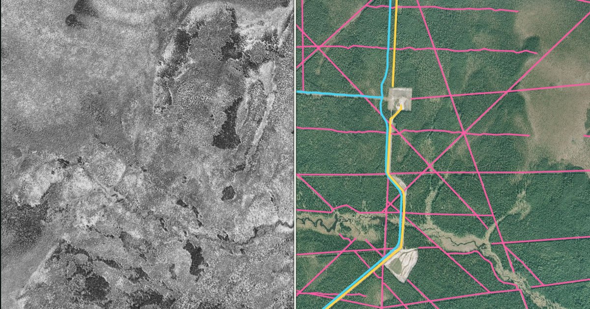
First map · west-central Alberta
Little Smoky Line Atlas
Every mapped seismic line, road, pipeline and cut-block in one Alberta caribou range, with air photos from 1949 and 1950.
14,614 km of line in a 3,084 km² range
Open the atlas →More places are on the way.